Photo Taken Date: 2012
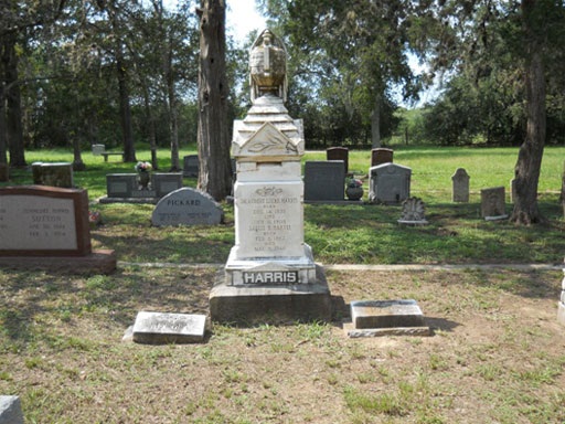
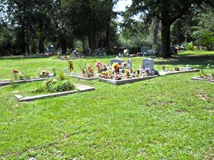
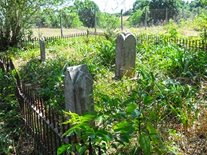
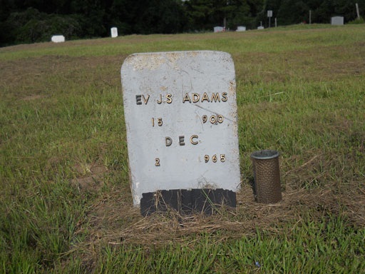
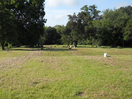
Main Name: Fulshear White Cemetery | FB-C080
Alternate Names:
- Fulshear Cemetery
- Fulshear Public Cemetery
- Union Chapel Cemetery
Access: Public
Location: Wallis Street, Fulshear
NAD83 Coordinates: 29 42.006 N, 95 54.481 W
Map Coordinates: 29.700100, -95.908017
Status and Other Information: The cemetery status is active and it has a Historical Marker. The cemetery is not affiliated with any organizations and the ethnicity is primarily Anglo. The size of the cemetery is 6.176 acre. The number of known burials is 508 and the date of the earliest burial is 07/22/1850.
View Fulshear White Cemetery - FB-C080 in a larger map

